Welcome
TO AZMFCD.ORG
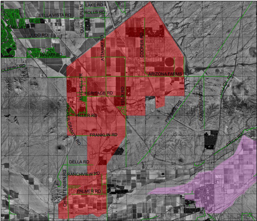
The Magma Flood Control District (MFCD) is a flood protection district existing under Arizona statute whose authority extends to all land located in the District. MFCD has authority over the Magma Flood Retarding Structure (Magma Dam or FRS). The Magma Dam is located just north of Arizona Farms Road about 2.5 miles west of State Route 79. The Magma Dam extends from Arizona Farms Road in a northerly direction for a distance of approximately 4.5 miles.

Latest News & Updates
ADWR improves the Dam’s safety status classification
Arizona Department of Water Resources recently removed the “elevated risk” designation on the Magma Flood Control District’s…
Latest Dam Repair Cost Estimates
The attached document outlines the latest cost estimates to repair the Dam.MFCDDamRepairCostEstimate6-11-09.pdf
Milestones for Identification, Design and Construction of Needed Dam Repairs
• In Late 2005, NRCS authorized a grant to the MFCD which enabled the MFCD to hire…
- « Previous
- 1
- …
- 5
- 6
- 7
